
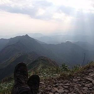
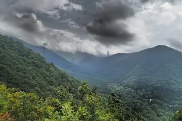
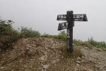
This summer I set upon the goal of trying to hike all the parts of the Snow Country Trail, the 280 mile loop that connects the three prefectures of Gunma, Niigata and Nagano via hiking trail and access roads. As I have a fulltime job in the summer, I have been trying to tackle this monumental task one section at a time on my days off. With this section, I started off optimistically, hoping that the clouds would part as I made my way to the summit. Although I reached the summit amidst a cold white haze, I did manage to get some great views on both the way up from the Naeba valley and back down into the Saragakyo valley side.
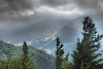
Clouds beginning to move in (Photo: Matthew Shewchuk)
Oct 23, 2013 - 1 min read
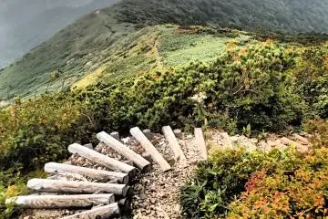
Neaba Valley to Saragakyo Valley
Snow Country trail section hiking


+2
景點資訊
/138.79946708679,36.858029878567,9/397x132?access_token=pk.eyJ1IjoiamFwYW50cmF2ZWxtYXBzIiwiYSI6ImNqbXBtOXYxbDB5Z3ozbHFrazJuYWMwOGYifQ.v15fy_mcFWtgopmz8PhwqA)
熱門文章
推薦
熱門